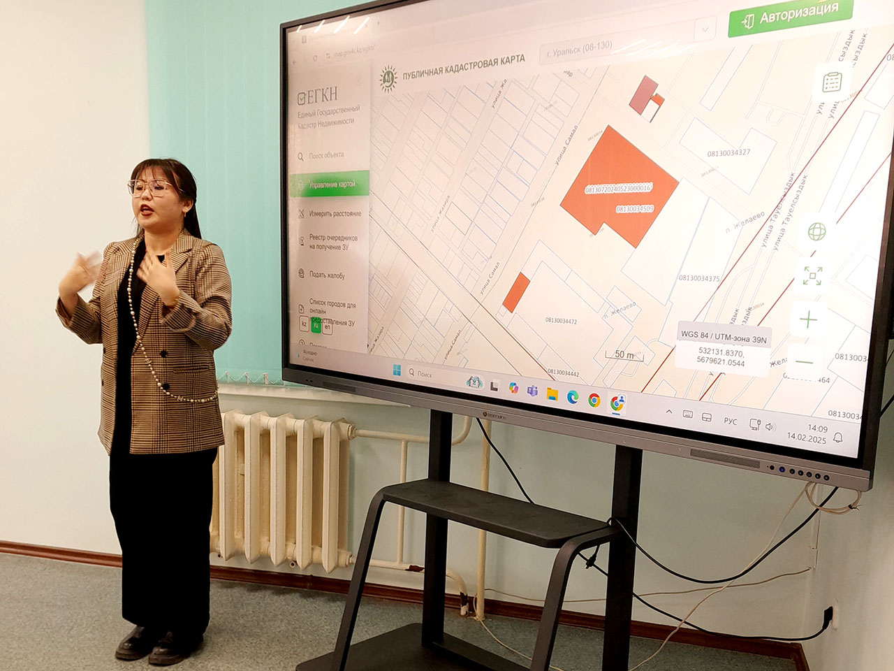
On February 14, 2025, at the Department of Architecture and Construction, a practice-oriented lesson was held for students of the educational program 6B07303 Land Management and Cadastre with the participation of a specialist in land management, Gizzatollina Aisana Aydoskyzy, on the topic: “Using an information system in land management.” Geographic information systems (GIS) occupy a central place among computer technologies in land management. A geoinformation system is a software and hardware complex that solves a set of tasks for storing, displaying, updating, and analyzing spatial and attribute information about territorial objects. The goal is to create digital maps and terrain plans, which are the planned basis of modern land management. The students got acquainted with the topic in depth and disclosed, the specialist was asked questions of interest.