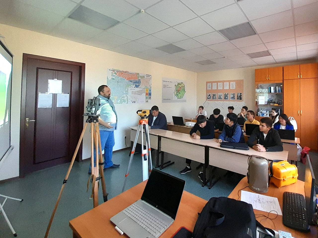
On September 19, 2024, at the Department of Architecture and Construction of the Institute of Industrial Technologies of ZKITU, OP 6B07303 Land Management, a practice-oriented lesson was held with the participation of a Geographic Information System (GIS) specialist from the land department of the real estate company Tengizchevroil Davletbaev Ruslan Maratovich
Tengizchevroil Geographic Information System specialist Ruslan Maratovich Davletbaev gave a lecture on the topic “Introduction to the ArcGIS program.” ArcGIS is a complete system that allows you to collect, organize, manage, analyze, share and distribute geographic information. As the world leader among platforms for building and using geographic information systems (GIS), ArcGIS is used by people around the world to apply geographic knowledge in the practical spheres of government, business, science, and education.
The principle of operation of the ArcGIS graphic program was demonstrated to students.