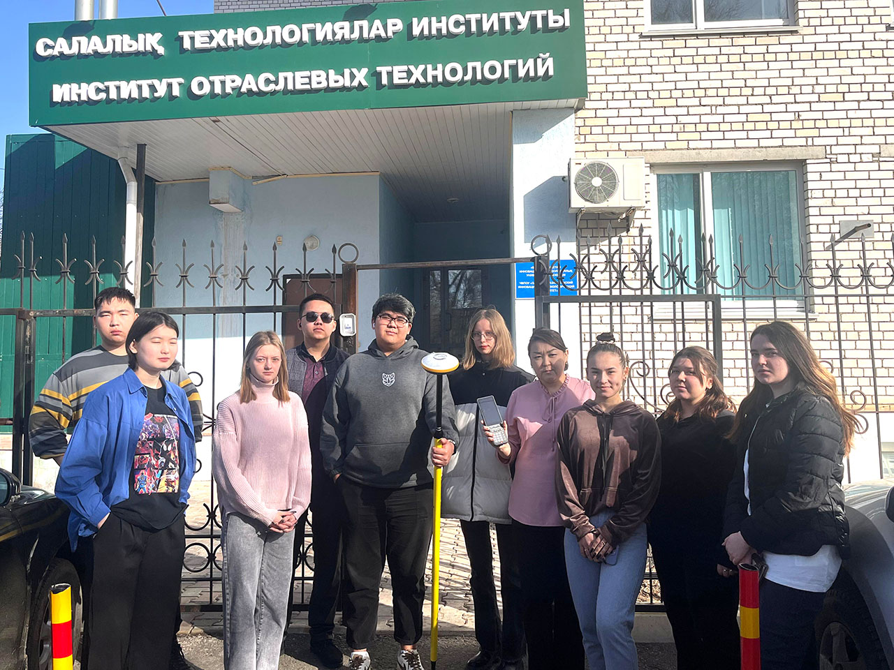
The equipment «Satellite receiver (GPS) E300 PRO» was purchased at the Department of «Architecture and Construction» of IIT WKITU for the educational program 6B07303-«Land Management and Cadastre». This equipment is used for geodetic measurements by satellite, allowing to determine the position of objects with high accuracy, satellite measurements are carried out through the use of radio signals from two satellite navigation systems. Their advantages are as follows: the ability to carry out geodetic measurements without eye contact between points at a distance of several thousand kilometers; carrying out measurements independent of weather conditions and time of day; increasing measurement accuracy, which reduces the influence of the atmosphere; carrying out measurements carried out in motion; automation of measurements, which increases labor productivity and minimizes errors.
The equipment is used for practical work in the disciplines of «Geodesy», «Land management design», «Geodetic works in land management», etc.