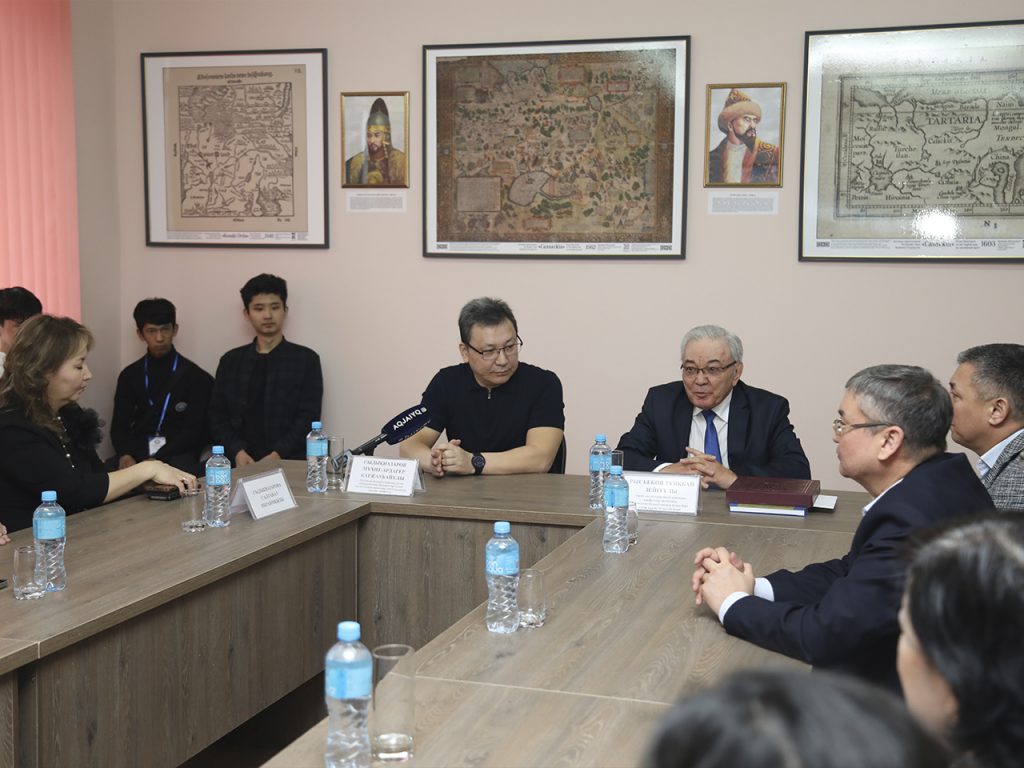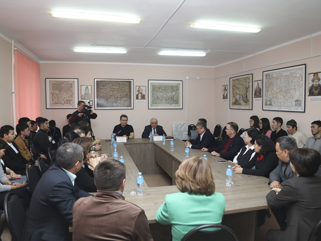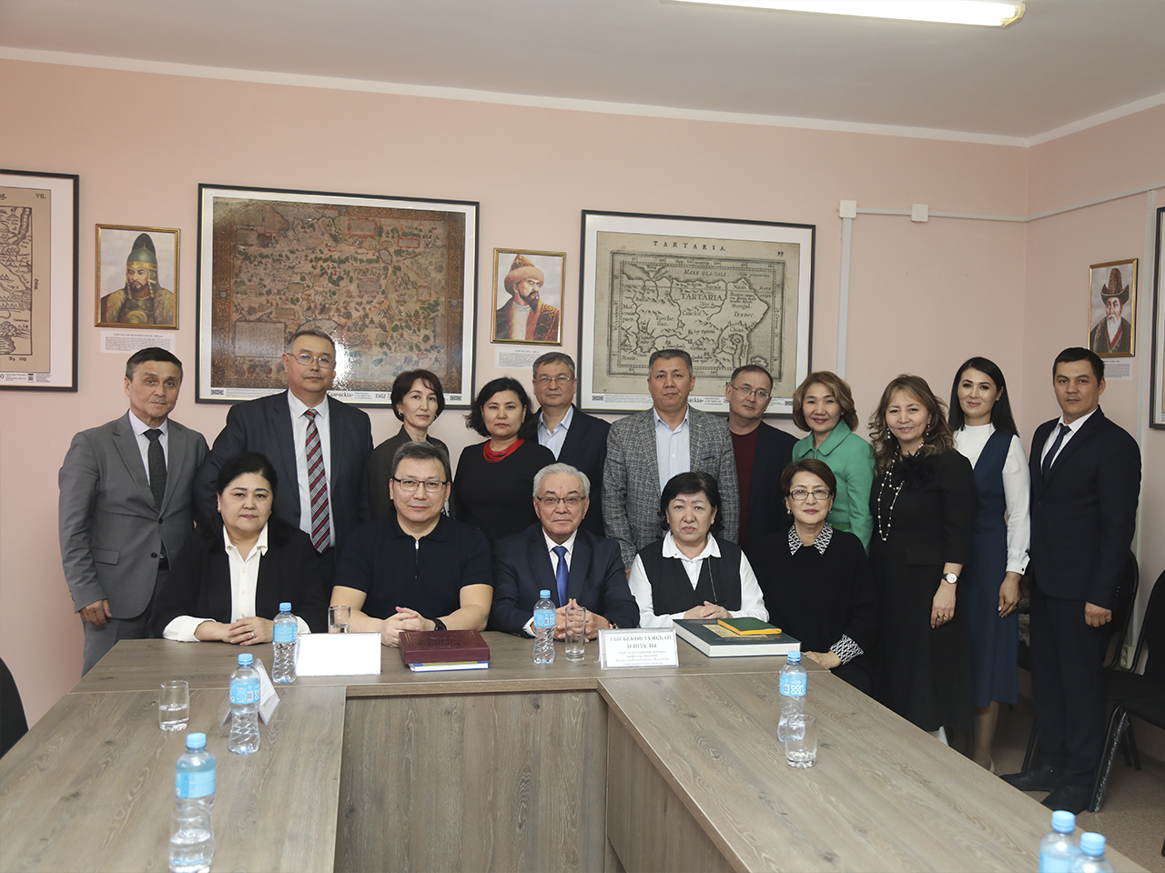
On March 27, 2024, the West Kazakhstan Innovative and Technological University was visited by a famous scientist, Doctor of Political Sciences, professor, Director of the Institute of Modern Studies of the L. N. Gumilev Eurasian National University Mukhit-Ardager Karzhaubaiuly Sydyknazarov. During the visit, the scientist participated in the presentation of the first and only cabinet of ancient maps “History of Kazakh statehood” in the Western region of the country at the West Kazakhstan Innovative and Technological University. Along with this, lecturers, students, magistrands and applicants were presented with an open lecture on the history of Kazakh statehood on medieval maps of famous travelers.
The researcher, whose name is well known to historians, was recently received into Ak Orda by the President of the Republic of Kazakhstan Kassym-Zhomart Kemelevich Tokaev. During the meeting, the head of state highly appreciated the work of the scientist and noted the need to organize special exhibitions in all regions of the country and at international events.
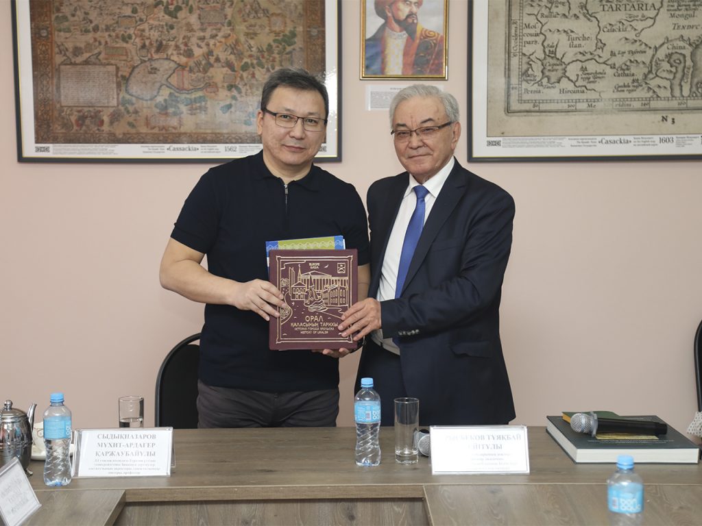
The scientist’s research is collected in his book “Continuous statehood of Kazakhstan in the flow of history. The Kazakh state on European and American maps of the 16th–19th centuries. Atlas”. To write this book, he spent more than 15 years in libraries and archives around the world, from Europe to America. Researcher Mukhit-Ardager Sydyknazarov proved that the history of the continuous statehood of the Kazakh state, its evidence and artifacts are in the Royal Museums, scientific libraries and collections of Brussels, Amsterdam, London, Berlin, Paris, Vienna, Rome, Warsaw, Luxembourg, Lisbon, Prague, Edinburgh , Dublin, Krakow, Wroclaw, as well as in leading cartographic collections in Asia from the Middle East to China and South-East Asia.
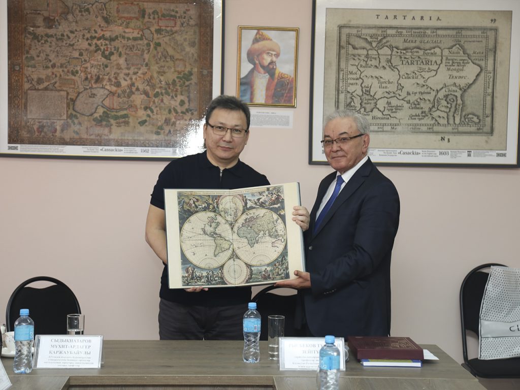
During a lecture at the West Kazakhstan Innovative and Technological University, the scientist noted the presence of more than 60 polytonyms in the name of the Kazakh state among the emissaries of Italy, England and other countries. The territory of modern Kazakhstan was marked on his maps by the great cartographer and artist Mercator. Scientists have discovered more than 2 thousand maps of the 15th-19th centuries telling about the history of the Kazakh state, the oldest of which dates back to 1530. All these maps clearly indicate the territory of Kazakhstan through the names “Kazak”, “Qazaqi”, “Kazak”, “Mamlakati Qazaq”.
The scientist’s collection of maps includes world maps compiled by cartographers of the Netherlands, England, Germany, France, Switzerland, Austria, Belgium and Italy. Some maps depict the territory inhabited by the clans of the three zhuzes, such as the Naimans, Uysunis, Kipchaks, Konyrats, Argyns, Alshyns, Katagans. Historical and geographical definition, identification of a specific state on ancient maps, preservation of the statehood of any country, its political identity and continuity, the depiction of Kazakhstan on maps and atlases of the world is evidence of continuous statehood.
In his lecture, the researcher noted that some of the world’s cartographers and travelers, in addition to depicting borders, left on their maps drawings reflecting the characteristic national features of the country, pictures of the Kazakh steppe: five horsemen with weapons in their hands, a camel street, yurts and horse-drawn carts, mothers , with babies and even mothers armed with swords on horseback. It should be noted that such names as Caspian, Zhaiyk and other names of localities and rivers have reached us unchanged. A map from France from 1856 provides important information about the countries depicted on it. In particular, it shows the population of many nations of that time, for example, the number of Kazakhs, according to the map, was 4.5 million people. This is a very important fact for historians.
In the era of globalization, the direction of science subjects has become especially relevant in the methodology of science, which gives young applicants who show an interest in history the opportunity to study maps deeply and carefully.
This event, which took place within the walls of the West Kazakhstan Innovative and Technological University, is of great importance not only for young people, but also for the wider scientific community, as it helps expand the horizons of knowledge through familiarization with these maps, immersing in the history of the past.