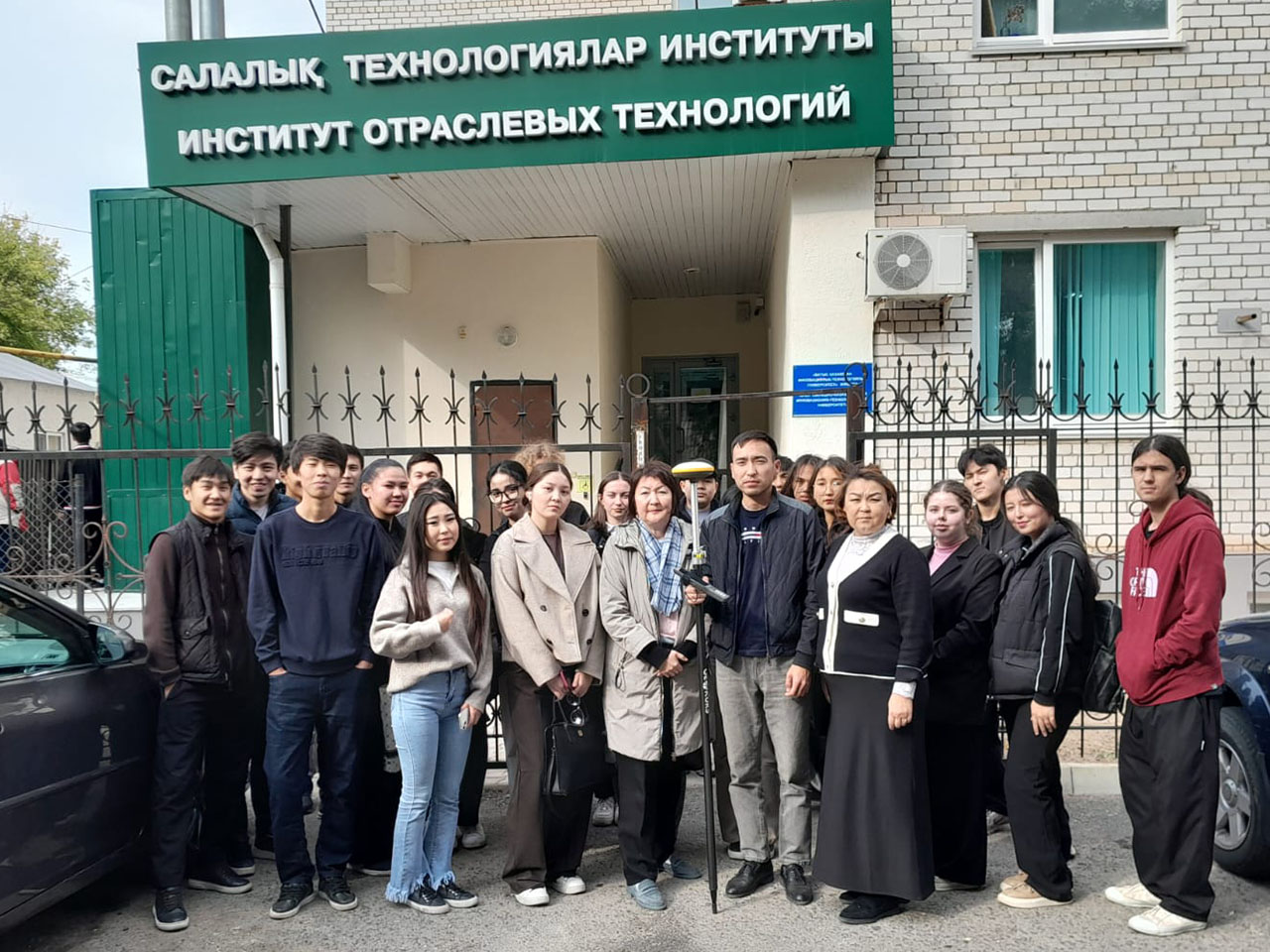
At the Department of Architecture and Construction, a meeting was held with the representative of LLP “Geokurs,” Elaman Askarovich Askarov, and the 2nd-year students of the educational programs 6B07303 “Land Management and Cadastre” and 6B07301 “Architecture.”
The purpose of the event was to familiarize students with modern geodetic technologies and equipment, as well as to expand their practical knowledge and professional competencies in the field of land management and cadastre.
During the meeting, students were introduced to the modern geodetic instrument E-Survey E300.
E-Survey E300 is a multi-frequency GNSS receiver designed for high-precision determination of object coordinates in the field, point staking, and performing land management and geodetic tasks such as calculating areas and volumes. The device tracks signals from various satellite systems and supports technologies that enhance measurement accuracy.
As a result of the meeting, students gained a wealth of useful and practical information that will help them deepen their knowledge and skills in their professional activities.